Environmental GIS & Drone Mapping in Nova Scotia
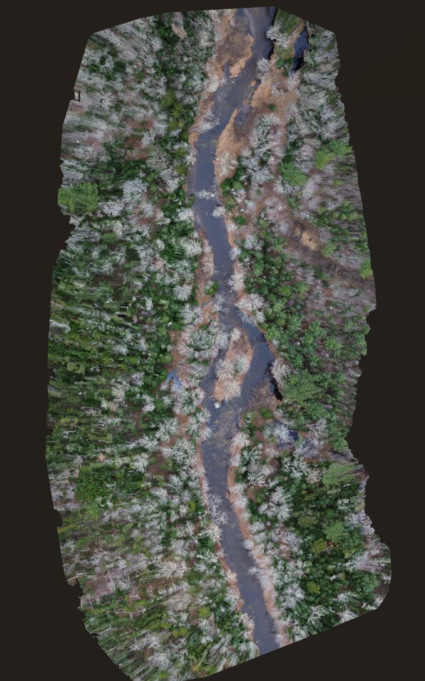
GIS analysis and map creation for site planning, permits, and reports, with drone orthophoto mapping by a licensed remotely piloted aircraft system (RPAS) pilot.
Services Include
- GIS analysis (QGIS and ArcGIS Pro)
- LiDAR watercourse, wetland, and drainage-area mapping
- Constraints mapping and land suitability screening
- Report and permit maps
- Drone orthophoto mapping and photogrammetry
- Data as GeoPackage, shapefile, KMZ, or PDF
Let's Discuss Your Project
Send the location of your project or property and what you're planning.
- will@aquahab.ca
- Phone
- (902) 219-0224
- Location
- Lunenburg County, serving all of Nova Scotia